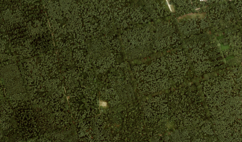
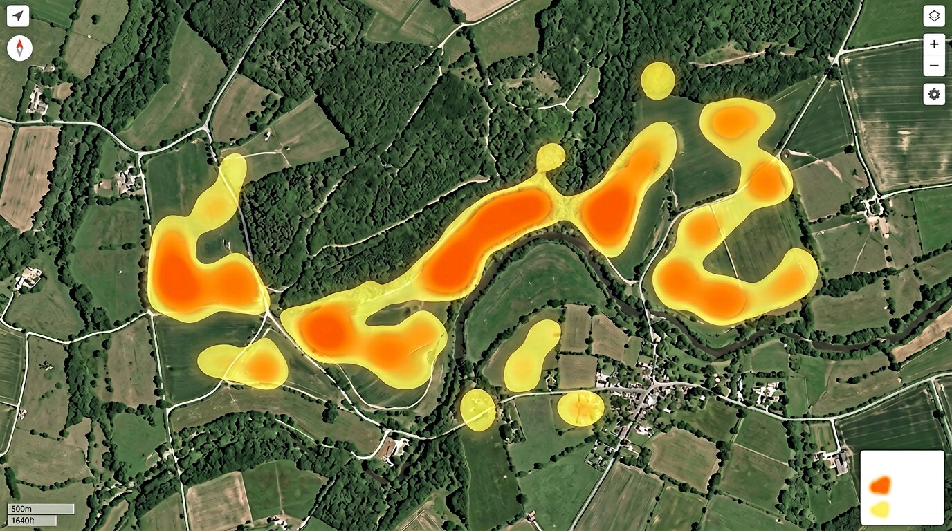
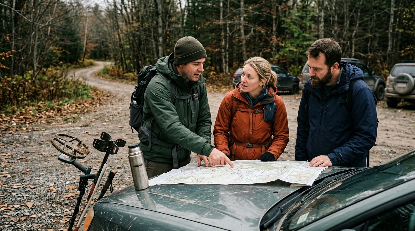
Your compass to the best metal-detecting spots. Our terrain map sees straight through trees and grass, so you can pin promising targets from your desk and navigate to them in the field — even in dense forest with zero signal.
From your living room to a find in the ground — here's the full process, step by step.
Switch on our terrain map and the landscape changes completely. Trees and grass disappear — what remains is the bare surface of the earth, and every bump, ditch, and hollow in it. Old field boundaries, raised platforms, ancient ditches and Celtic earthworks that are completely invisible to the naked eye suddenly stand out clearly. This is your starting point for finding productive areas.
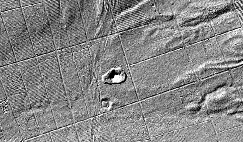
Spotted a suspicious circular feature? An old road crossing a field? Cross-reference with Roman roads, medieval river networks, and known archaeological sites — all overlaid on the same map. When something lines up, drop a pin, add a note, and save it to your hit list. All from your armchair, before you've left the house.

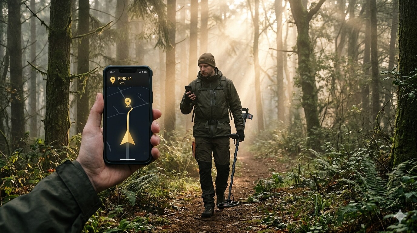
This is where the app earns its keep. Features you spotted on the terrain map are completely invisible once you're standing in dense woodland — there's nothing to see. But the app shows your pinned spots on a live GPS map, so you always know the exact direction and distance to your target. Walk straight there, no guessing.
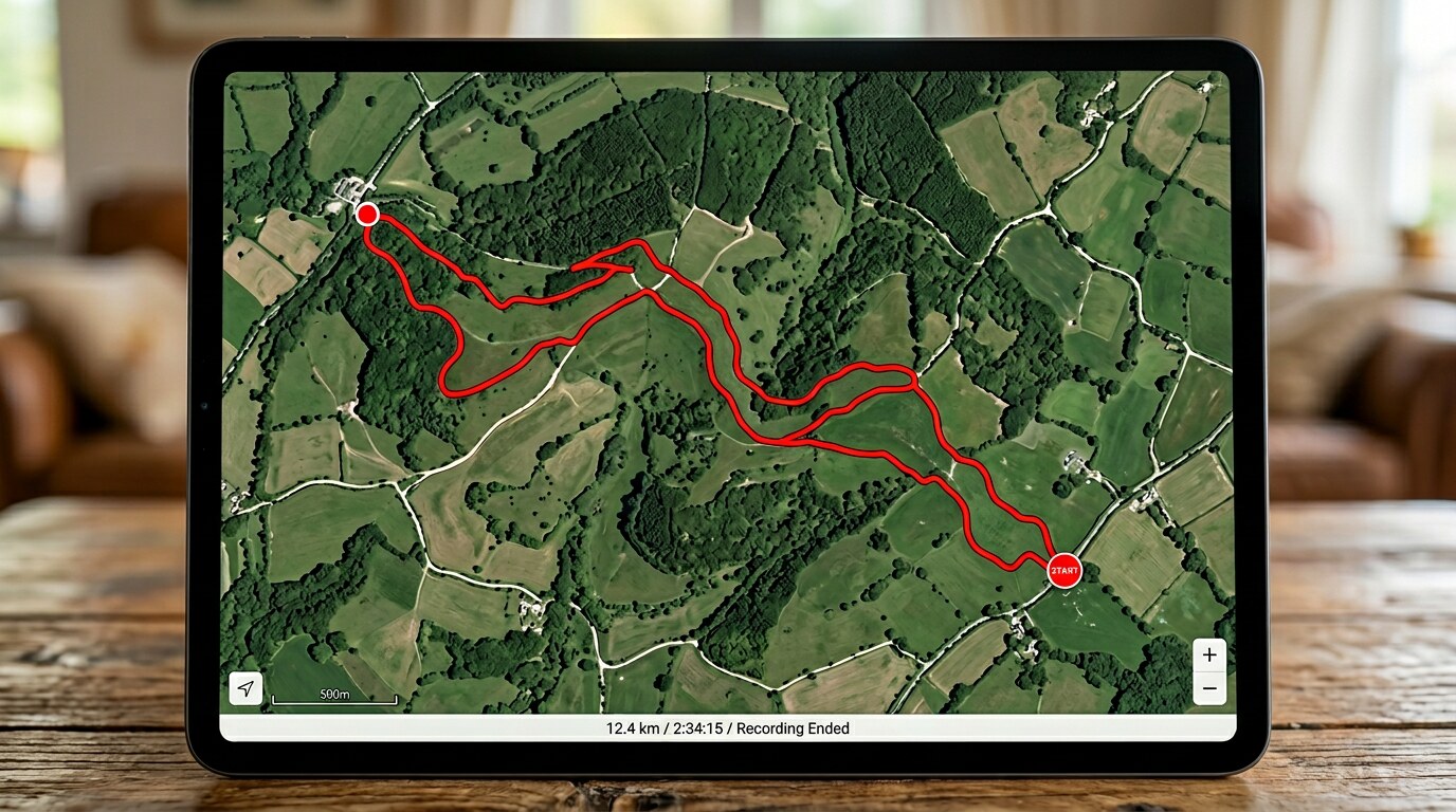
Background GPS records your path the entire time you're out, even with the screen off in your pocket. Every session is saved as a coloured trail on the map. Come back the following week and your previous coverage is still there — so you can pick up exactly where you left off and work through an area systematically, with zero overlap between sessions.
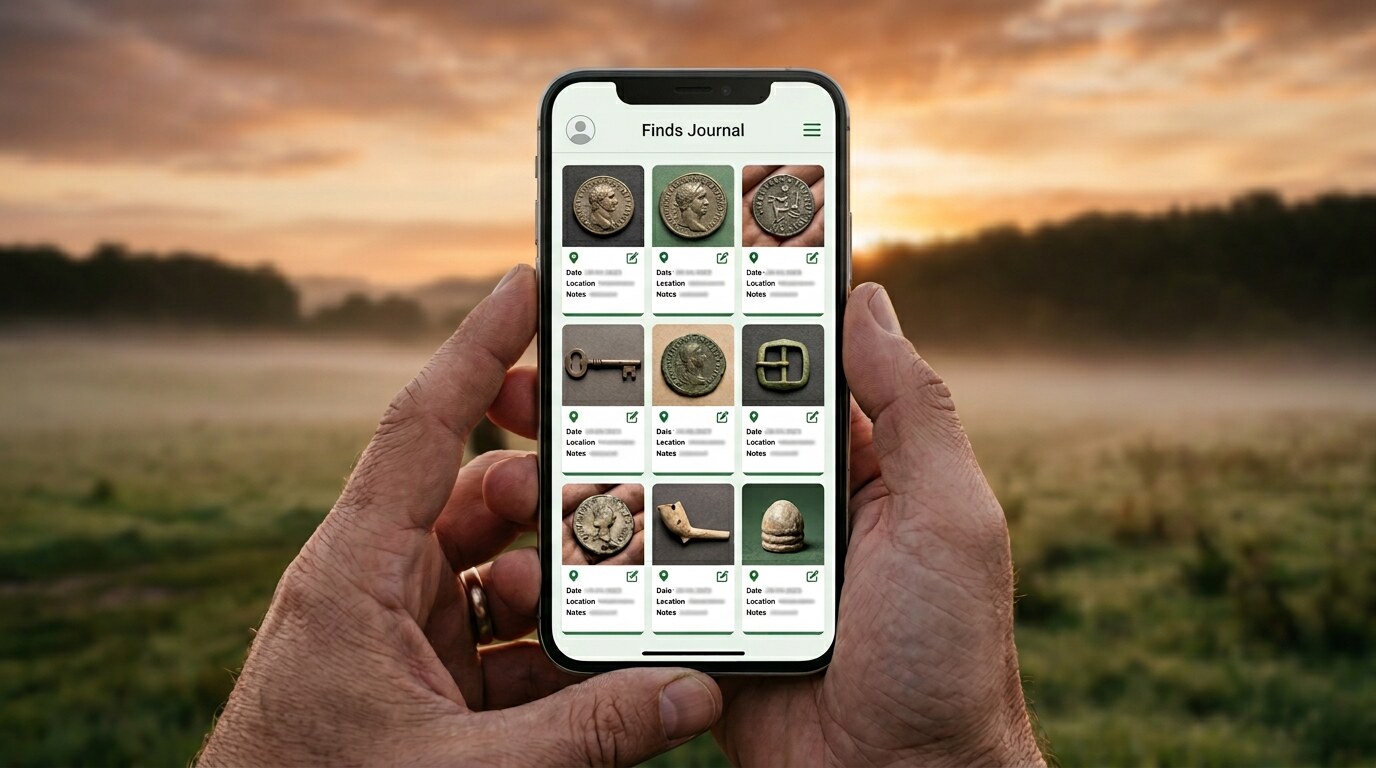
The moment you dig something up, open the app and log it — photograph it in the ground, note the depth, add a comment. The exact GPS location is recorded automatically. Nothing gets forgotten, nothing gets mixed up with finds from other days. Everything is pinned to the map exactly where you found it.
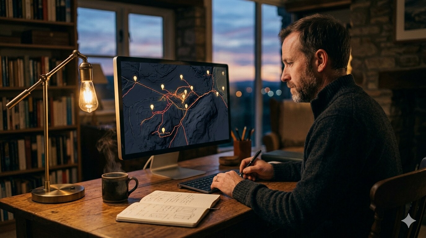
Back at your desk, all your finds, tracks and notes are synced to the research platform and overlaid on the map. See which areas produced finds and which didn't. Use that to decide where to focus next. Over time you build a detailed, personal picture of the land you're hunting — and every session makes the next one more productive.
Our terrain map strips away vegetation and reveals what's hidden beneath — features invisible on any other map layer.
From desktop research to field recording — every feature is designed to make you find more.
Draw a box on the map, hit scan. Our AI analyses the terrain map, cross-references your region's archaeology and battlefield history, and pins 3–8 high-potential spots with full explanation — terrain signals, historical context, expected finds, and search advice.
Toggle between modern satellite, our terrain map, VICI archaeological sites, Roman roads, and medieval river networks — all on a single map. Cross-reference layers to find where history converges in the same field.
Spotted a suspicious ring ditch on the terrain map? A crossroads on a Roman road? Drop a pin. Add notes, set a priority, and build up your hit list entirely from the comfort of home. Every pinned spot syncs instantly to the app — ready for when you're in the field.
The terrain map reveals earthworks and ancient features that are completely invisible once you're standing in thick woodland. That's where the app earns its keep. Your pinned spots appear on your live GPS map, so you always know exactly how far away the target is and which direction to walk — even without mobile signal.
No more wandering a field hoping to stumble across something. Research the area at home, pin it, walk straight to it.
Background GPS records your path even when the phone is locked. See your coverage as a live trail on the map, review sessions later on the platform, and share your route with your group. No more re-hunting empty ground.
Photograph each find in the field. The app captures depth, date, and GPS coordinates automatically. Back home, every find appears on your research map exactly where you dug it — building a permanent, searchable record of everything you've ever found.
Start a group session and see every member's live position on the map. Coordinate coverage, avoid overlap, and share spots in real time. Pro members can also see community hunts happening near them — and join in. Requires a mobile data connection.
Start free and upgrade when you're ready. No surprise charges, cancel any time.
All prices include VAT where applicable. Pro plan billed annually. Cancel any time.
The web platform is powerful on its own — but paired with the app, it's a complete system. Download free and log your first find today.
App launching soon — register on the platform to be first in line
Free account. Web platform + mobile app. No credit card needed.